

tCat is an integrated solution to get catenary geometry measurements, quickly and easily.
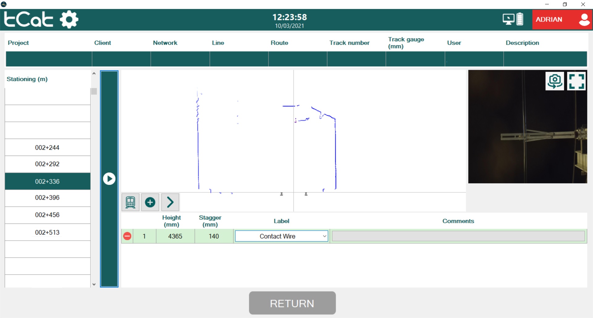
It incorporates an algorithm that automatically identifies the contact wire and measures its height and stagger.
Its field software, analysis tools and collaborative platform enable collaboration among the different roles involved in the design, installation, test and maintenance of an OLE system.
TROLLEY CART
Our trolley cart is a hardware integration platform designed for the user in the field.
Portable: folds* and fits in a suitcase.
Easy assembling: no wire connections*.
Light weight ∼ 26 kg but robust.
Night use: frontal white and back position lights.
Autonomy > 8 hours.
All weather: ruggedized notebook.
*Patent pending


CONTACT WIRE POSITION
Instant measurement of the contact wire height and stagger*.
Stop, click, read & go!
Measurements saved in exportable data base.
Relative distances.
Cant/superelevation.
Track gauge.
*Patent pending
CLEARANCES & TUNNELS
Check the available space between the train, the OLE and other structures or objects.
Fast assessment of clearance conflicts.
Configurable predefined clearance models.


MANDATORY CLEARANCE
REQUIREMENTS
Avoid the risk of people coming into contact with live wires.
Monitor critical clearances and mitigate hazards, operational delays, shutdowns and costs.
Perform measurements between any two points in the point cloud.
FIELD SOFTWARE
We have designed our software with the field user in mind, keeping it simple and intuitive.
Minimal need for training.
Focus on the survey job, not in the software tool.
All information and functions needed for decision making are also available for the field user, in real time.




CLOUD PLATFORM
All information is uploaded to a cloud platform where it can be analized with extended back-office functionality.
Real-time access to field surveying for enhanced collaboration between field and remote users.
3D point cloud visualization and analysis.